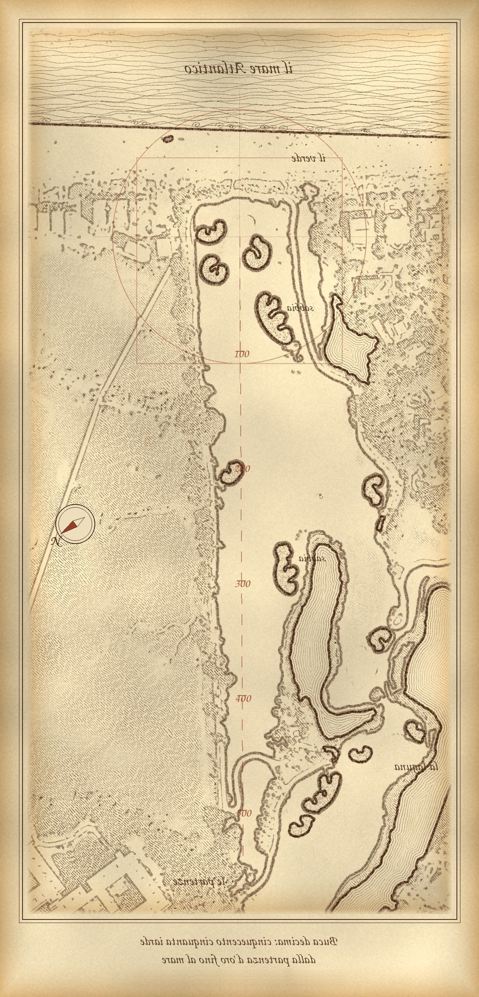
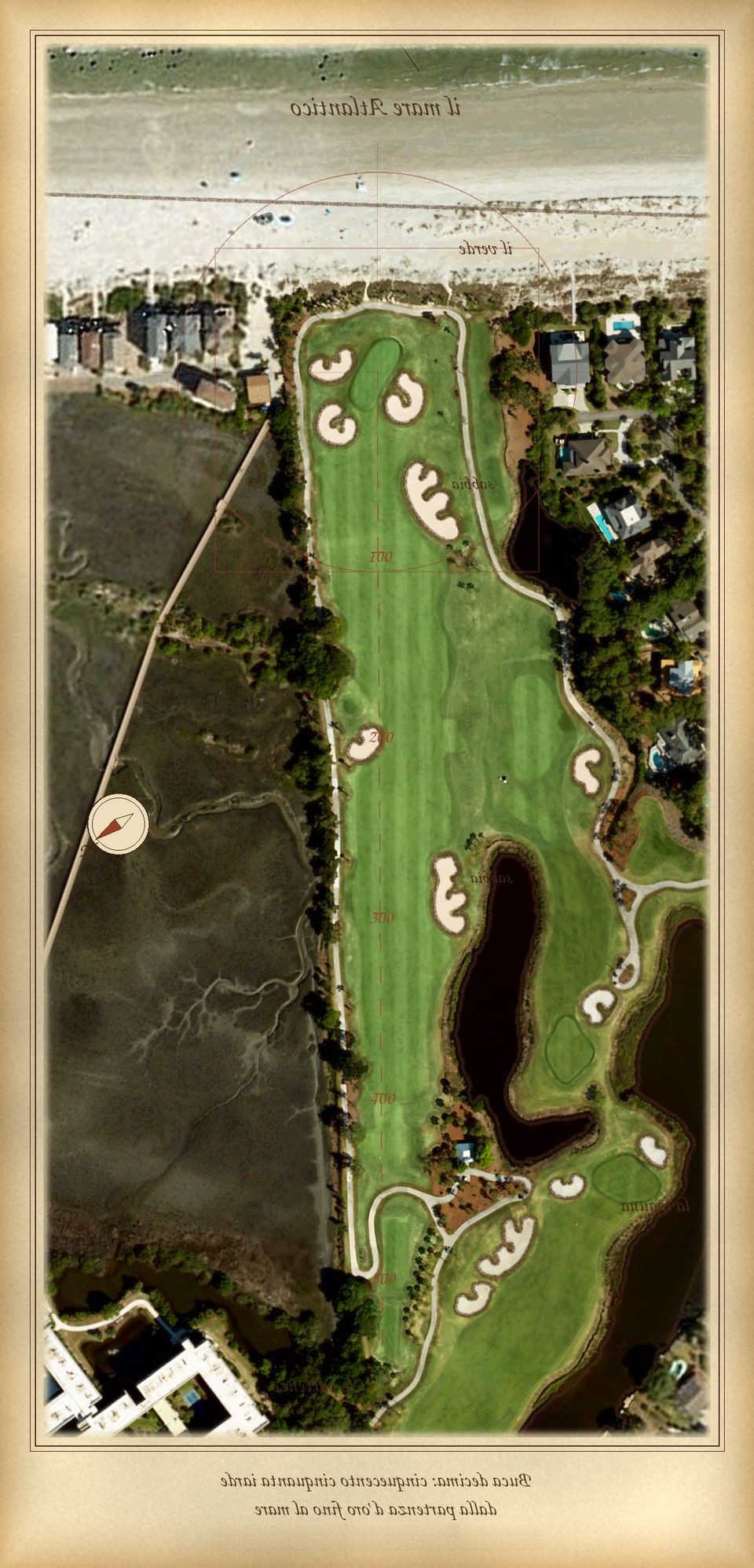
Weather: National Weather Service (Hilton Head Airport observations + hourly forecast), refreshed every 10 minutes. Radar: NOAA NEXRAD via Iowa Environmental Mesonet. Map: USDA NAIP. Wind direction is where the wind comes from. Into/helping and cross are the wind split along Hole 10's line of play (124°), not club advice.
Rotate
60%
Hands-off flyover · about 70 seconds · slows at every bunker
Touch the screen any time during the flight to take the controls.
Hole in one!
On a par 5, that’s a condor — four under par.
Height
SKY CADDY Hole 10 · Hilton Head Island
Hilton Head Island · Play the course before you play.
ON THE ATLANTIC
Drag to pan · Height ▲▼ to fly up/down · Rotate to look around · scroll to zoom · Bunkers plays the bunker tour · Van Gogh paints the hole
Flyover · real drone footageHole 10 · Tee to green
Gallery · Above All MediaHole 10 · Hilton Head Island
100%
Scroll, pinch or double-tap to zoom · drag to move